Labor Day, observed on the first Monday of September, marks the conventional close of the American summer travel season and produces one of the year’s heaviest concentrations of highway traffic, trailing only Thanksgiving and the Fourth of July in national vehicle-miles traveled. The three-day weekend (extendable to four or five with modest additional leave) coincides with several favorable travel conditions: summer crowd levels at national parks begin to taper after mid-August, many coastal and mountain destinations retain warm-weather amenities before autumn closures, and lodging rates in ski-adjacent towns have not yet risen for the winter season.
This overview surveys seven established Labor Day road trip routes across distinct U.S. regions, selected for a combination of driving distance suitable to a long weekend (generally under 500 miles from major population centers), documented infrastructure (paved scenic byways, established rest stops, and lodging capacity), and seasonal appropriateness for early September. Route lengths, drive times, and elevation figures below reflect published data from the National Park Service, state tourism authorities, and the Federal Highway Administration’s National Scenic Byways program. Traffic volumes on Labor Day weekend routes typically peak on the Friday afternoon preceding the holiday and the Sunday or Monday of return travel, a pattern the American Automobile Association (AAA) has documented in its annual holiday travel forecasts since the early 2000s.
Pacific Coast Highway (California)
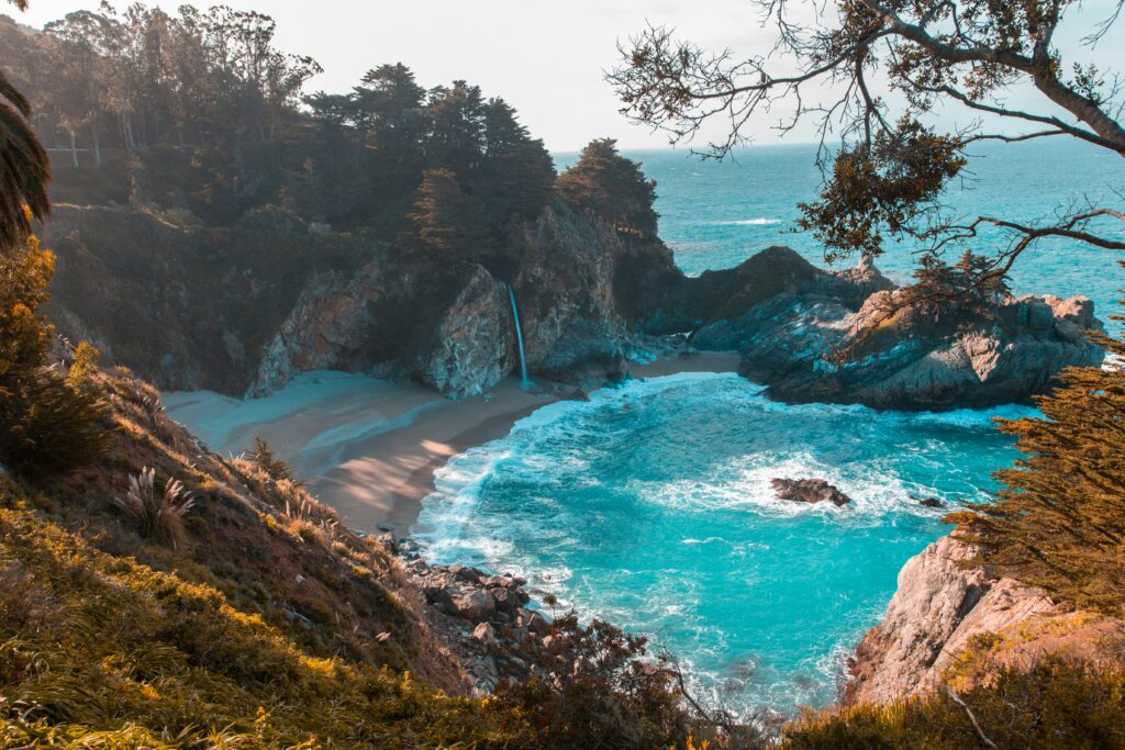
California State Route 1, commonly known as the Pacific Coast Highway, extends approximately 656 miles along the California coastline, though the most frequently driven Labor Day segment runs the 123 miles between San Simeon and Carmel-by-the-Sea, encompassing Big Sur. This stretch was designated an All-American Road in 1996 by the Federal Highway Administration, one of the highest classifications in the National Scenic Byways program. Driving time for the Big Sur segment alone runs roughly three to four hours without stops, owing to a speed limit that drops to 25–45 mph across many curved sections. Hearst Castle, a National Historic Landmark near San Simeon, and McWay Falls in Julia Pfeiffer Burns State Park are among the most visited fixed points along the route. Early September temperatures in Big Sur typically range from the mid-50s to low-70s Fahrenheit, moderated by coastal fog that is more prevalent in July and August than in September. Lodging along this corridor is limited relative to demand, and properties such as Post Ranch Inn and Ventana Big Sur report advance bookings for the Labor Day period months ahead.
Blue Ridge Parkway (Virginia and North Carolina)
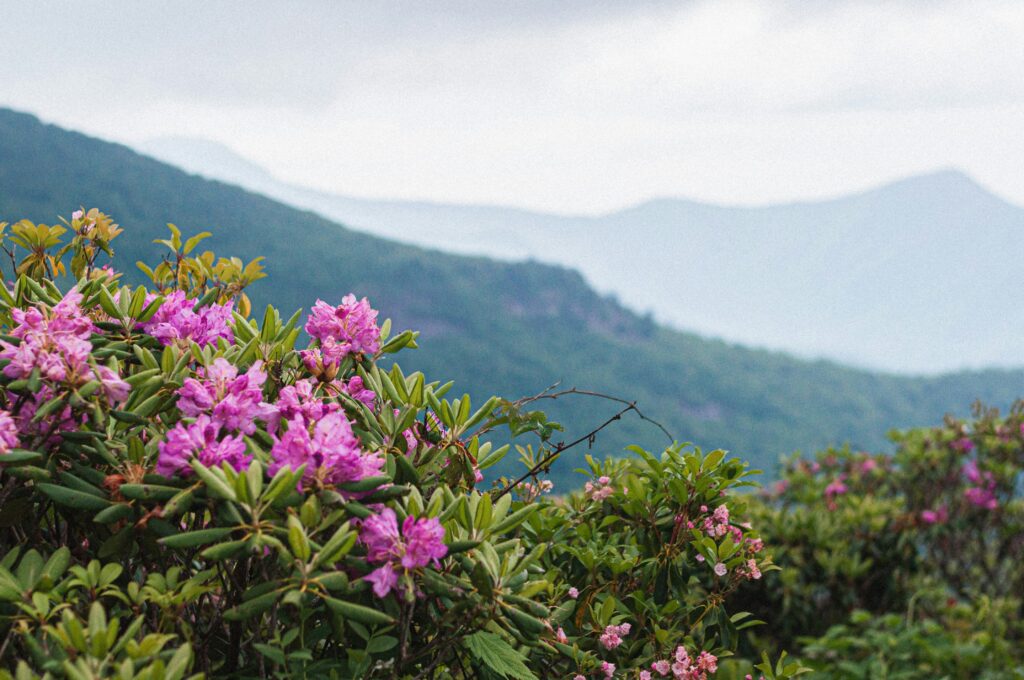
The Blue Ridge Parkway runs 469 miles connecting Shenandoah National Park in Virginia to Great Smoky Mountains National Park in North Carolina, and is administered by the National Park Service as its own unit, established in 1935 as a Depression-era public works project. The full route takes approximately 12 hours to drive without stops, given a maximum speed limit of 45 mph, though most Labor Day travelers select a shorter segment, commonly the 100-mile stretch between Roanoke, Virginia, and Blowing Rock, North Carolina. The parkway’s highest point, at Richland Balsam near milepost 431, sits at 6,053 feet, contributing to noticeably cooler temperatures than surrounding lowland areas. The Blue Ridge Parkway recorded roughly 16.7 million visits in 2023, according to National Park Service statistics, making it consistently one of the most-visited units in the entire park system despite lacking an entrance fee. Early September falls before peak fall foliage, which typically arrives in the higher elevations in early-to-mid October, but the shoulder-season timing corresponds with reduced crowding relative to October weekends.
Overseas Highway (Florida Keys)

U.S. Route 1’s Overseas Highway extends 113 miles from Key Largo to Key West, incorporating 42 bridges, including the 7-Mile Bridge connecting Knight’s Key to Little Duck Key, one of the longest segmented bridges in the world at the time of its 1982 completion (replacing the original 1912 Flagler railway bridge). Drive time from Miami to Key West runs approximately 3.5 to 4 hours under normal traffic. Labor Day weekend falls within the Atlantic hurricane season’s climatological peak, which the National Oceanic and Atmospheric Administration identifies as running from mid-August through mid-October, a factor that depresses both crowd levels and lodging rates relative to winter high season, though it also introduces meaningful weather risk requiring flexible planning. Average early September water temperatures in the Keys run in the mid-80s Fahrenheit, among the warmest of any U.S. coastal road trip destination during this period.
Ring Road Loop, Lake Superior Circle Tour (Michigan, Wisconsin, Minnesota, Ontario)
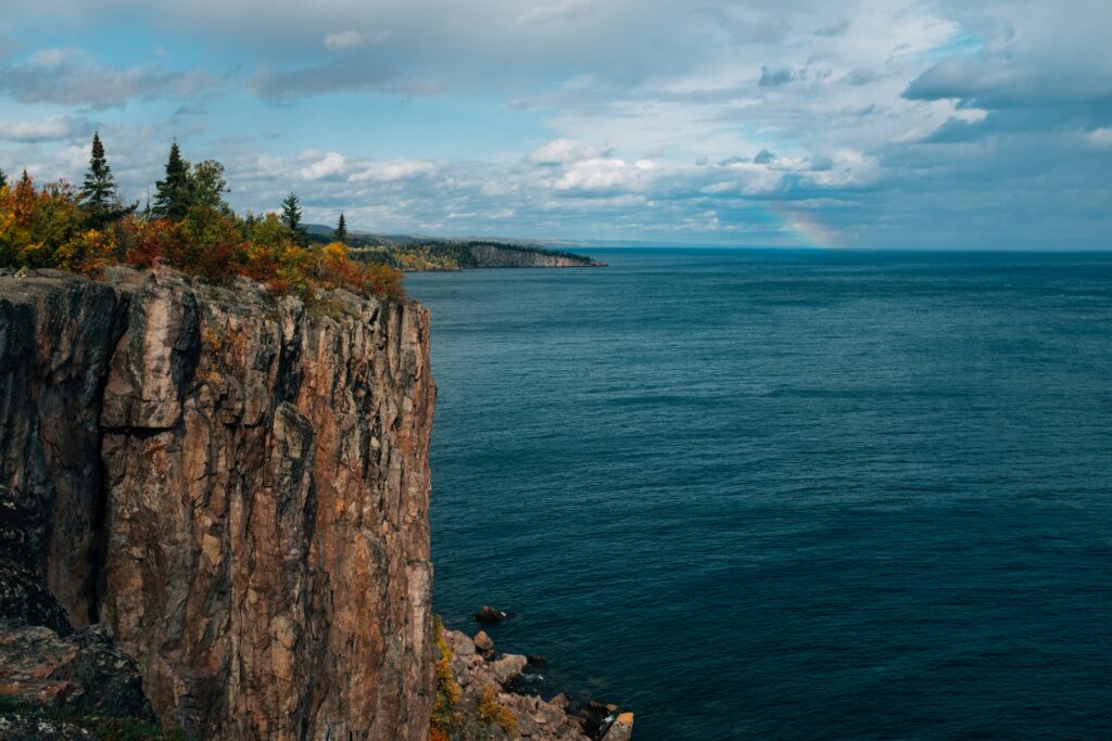
The Lake Superior Circle Tour, officially designated in 1988 by the four bordering jurisdictions (Michigan, Wisconsin, Minnesota, and Ontario), spans approximately 1,300 miles around the entirety of Lake Superior, the largest of the Great Lakes by surface area at roughly 31,700 square miles. Most Labor Day travelers complete a partial loop rather than the full circuit; a popular segment covers the roughly 300 miles between Duluth, Minnesota, and Michigan’s Upper Peninsula through Wisconsin’s Bayfield Peninsula, gateway to the Apostle Islands National Lakeshore. Water temperatures in Lake Superior remain cold even in September, generally in the 50s Fahrenheit, a consequence of the lake’s substantial average depth of 483 feet. The region sees minimal fall foliage by Labor Day itself, with peak color arriving late September into early October depending on latitude, but daytime air temperatures in the 60s and 70s make it a comparatively cooler alternative to more southern routes for travelers seeking relief from late-summer heat.
Enchanted Circle (New Mexico)

The Enchanted Circle is an 84-mile loop through northern New Mexico connecting Taos, Angel Fire, Eagle Nest, Red River, and Questa, encircling Wheeler Peak, the highest point in New Mexico at 13,161 feet. The full loop can be driven in roughly two hours without stops, making it one of the more compact options on this list and well-suited to being combined with additional time in Taos itself, home to Taos Pueblo, a UNESCO World Heritage Site continuously inhabited for roughly 1,000 years. Early September temperatures in the region, given elevations generally above 7,000 feet, run considerably cooler than the New Mexico lowlands, with daytime highs typically in the 70s and overnight lows dropping into the 40s. The Red River area hosts an annual Labor Day motorcycle rally that materially increases traffic and lodging demand in that specific town, a detail worth accounting for when booking accommodations along the northern segment of the loop.
Going-to-the-Sun Road (Montana)

Glacier National Park’s Going-to-the-Sun Road runs 50 miles across the Continental Divide, reaching its highest point at Logan Pass, elevation 6,646 feet. Completed in 1932 and designated a National Historic Landmark in 1997, the road is typically fully open only from early June through mid-October, weather permitting, making Labor Day one of the more reliable windows within its short annual operating season. Vehicle length restrictions apply on the stretch between Avalanche Creek and Sun Point, capping vehicles at 21 feet in length and 8 feet in width due to the road’s narrow, cliffside construction. Glacier National Park has implemented a vehicle reservation system for this corridor during peak summer months in recent years, a policy that travelers should verify against current park service guidance before departure, as timed-entry requirements have shifted from year to year since their introduction in 2021.
Historic Route 66 (Illinois to Missouri segment)
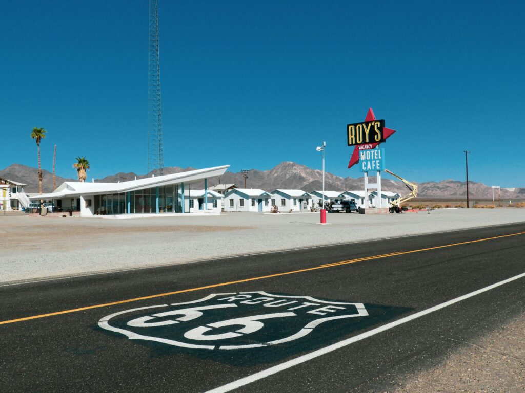
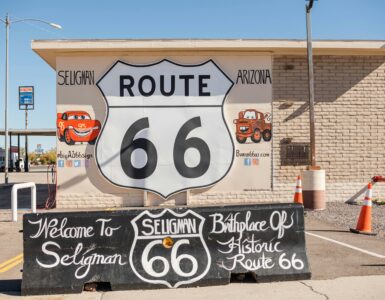
Though the full length of historic Route 66 spans roughly 2,448 miles from Chicago to Santa Monica, a commonly driven Labor Day segment covers the approximately 300 miles from Chicago to St. Louis, passing through towns including Pontiac, Springfield (Illinois’s state capital and Abraham Lincoln’s longtime home), and the Gateway Arch, a 630-foot stainless steel monument completed in 1965 and designated a National Park Service site since 2018 as Gateway Arch National Park. Route 66 was formally decommissioned as a U.S. highway in 1985, and much of the original alignment now exists as state or county roads running parallel to Interstate 55, requiring more deliberate navigation than interstate travel. Drive time for the full Chicago-to-St. Louis segment runs approximately five hours via interstate, though following the historic alignment closely can extend this considerably given detours through small-town business districts.
Planning Considerations
Regardless of route, several practical factors recur across Labor Day travel. AAA’s historical data indicates that Friday afternoon departure produces the heaviest congestion of the weekend, with Sunday and Monday return trips producing a secondary peak; departing Saturday morning or returning Monday evening after 7 p.m. can reduce time spent in traffic. National parks within these routes, including Glacier, the Blue Ridge Parkway corridor near the Smokies, and the Apostle Islands, report some of their highest single-weekend visitation of the year during this period, and lodging within or immediately adjacent to park boundaries is frequently booked at full capacity months in advance. Fuel prices have historically shown a modest seasonal uptick heading into the holiday, tracked in weekly reports from the U.S. Energy Information Administration. Travelers should also note that several of these routes, including Going-to-the-Sun Road and portions of the Enchanted Circle, involve high-elevation driving where nighttime temperatures can approach freezing even while daytime conditions remain mild, a detail that affects both comfort and, in the case of early-season storms, road conditions.